
Saturday, November 12: The Legendary Black Smoker of Figueroa Mountain: Exploring Old Mines and Marvelous Rocks

This chunk of smoker shows hydrothermal enrichment. Photo by Susie Bartz.
Field trip with Susie Bartz
Saturday, November 12, 8:30 a.m. to 2:00 p.m.
Participation is limited to 15. Good physical condition and good balance are essential for this trip. Registration is now open for members and on November 2 at 9:00 a.m. for nonmembers at syvnhs@syvnature.org or 805/ 693-5683.
Members $10 / Nonmembers $25 / Children $5
“Black Smokers” are vents of hydrothermal fluids, located at mid-ocean ridges. They bring up enriched minerals to form a crust around the vent that grows upward like a chimney. Our local black smoker is one of only a few that have been tectonically uplifted and exposed on land so the “hydrothermal enrichment” of the rocks can be mined and, in our case, examined.
The exploration of the black smoker of Figueroa Mountain begins with an introduction to the Little Pine fault and the Franciscan rocks beyond. We will drive up Figueroa Mountain Road to the trailhead and walk downhill to the site. The trail descent is moderate, winding down through dense chaparral with some more difficult, loose rocky rubble and a few narrow areas with steep drop-offs on one side. Trail length is about one-half mile to the smoker site at 3800 ft. elevation, where the fossil black smoker was discovered, researched, cleaved by rock hounds, and eventually broken up by collapse along a nearby fault.
The ascent follows the same route, with several strenuous parts in steep areas. Some shade is available under pine trees.
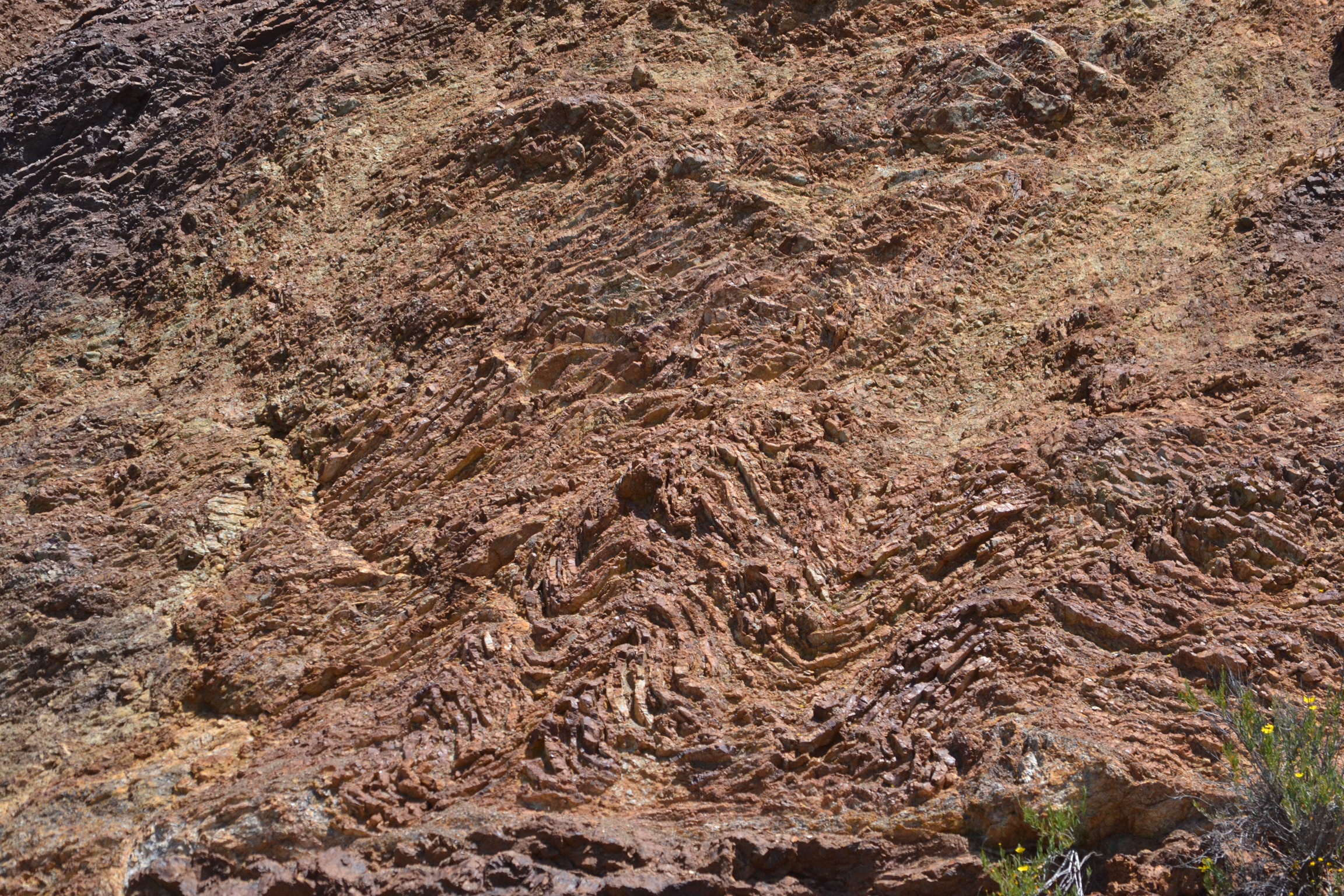
Folds in banded chert. Photo by Susie Bartz.
Along the way we’ll see the recumbent chevron folds of radiolarian chert, exposures of pillow lavas, and the colorful hydrothermally enriched rocks that gave shape to the history of mining in the area. On the return drive down Figueroa Mountain Road, we’ll stop and walk to a magnificent serpentinite landslide. Here we’ll enjoy lunch and look for ancient minerals in the rocks, with clues to the tectonic events that formed them.
Good physical condition and good balance are essential for this field trip. Participants are strongly urged to use hiking poles.
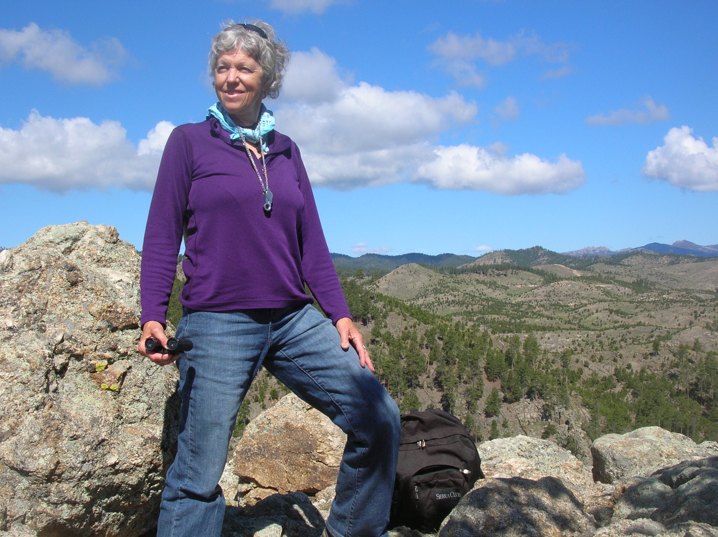
Geologist Susie Bartz. Photo by Jarry Bartz.
As a geology educator, Susie has worked for over 20 years with schools and community organizations to bring an awareness of earth science to the general public in outdoor settings. She holds a degree in geology from SBCC, and she helped complete a project publishing the maps of legendary geologist Tom Dibblee, who was her friend and mentor, and in whose memory she dedicates her field trips. Susie enjoys hiking and backpacking, and lives in Santa Barbara with her husband and assorted cats, and has two married daughters and three darling grandsons.


